 vesseltracker.com
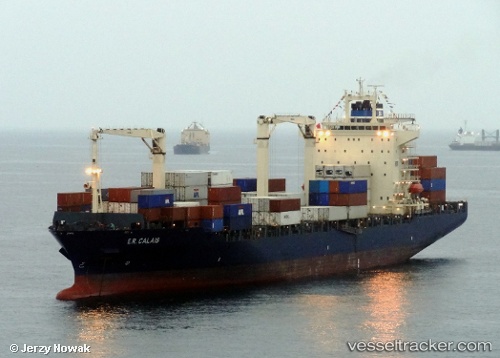
Vessel BOMAR CALAIS IMO: 9301445, MMSI: 636022015 Container Ship
Live AIS position:
UTC. 114 nm S of Kohnen),
updated 2025-12-09 23:58:08 UTC.
Find the position of the vessel BOMAR CALAIS on the map. The latter are known coordinates and path.
marine traffic ship tracker show on live map
The current position of vessel BOMAR CALAIS is -76.89556 lat / 0.00000 lng. Updated: 2025-12-09 23:58:08 UTCCurrently sailing under the flag of Liberia
BOMAR CALAIS built in 2005 year
Deadweight:
34263 tDetails:
Last coordinates of the vessel:
2025-12-09 23:58:08 UTC, -76.89556, 0.00000, course: 10, speed: 101.3